
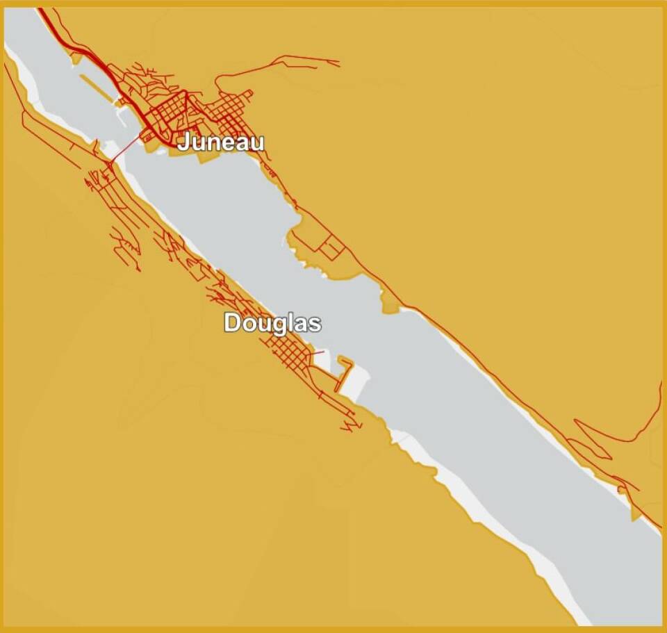
A high wind warning is in effect for Downtown Juneau, South Douglas and Thane beginning Thursday afternoon and lasting through early Friday morning. The National Weather Service warning comes alongside a cold weather advisory in effect until noon Sunday, and more high wind expected this weekend.
“Now, up until Christmas, we’re expecting very, very cold temperatures,” said Dan Slagle, lead forecaster at the National Weather Service Juneau. “We’ll have some dangerously cold wind chills for the next five or so days until early next week. We’re really expecting some cold temps.”
Northeast winds of 15 to 25 miles per hour are forecast, with gusts reaching up to 60 mph Thursday evening and overnight.
Forecasters have also issued a high wind watch for another potential Taku wind event this weekend. Wind chills as low as negative 15 degrees Fahrenheit are expected.
The winds are being driven by a strong pressure gradient across the Yukon and British Columbia, according to Slagle. As winds blow perpendicular to the Coast Mountain Range, they are funneled through the Taku Inlet, then pushed over and down Mount Roberts.
The Taku winds have arrived amid a stretch of unusually severe weather. Over the past two weeks, the region has seen a flurry of winter weather warnings, including what Slagle described as some of the earliest cold outbreaks ever recorded.
High temperatures over the next several days are expected to remain in the single digits, with overnight lows dipping below zero degrees Fahrenheit. The forecast calls for dry conditions over the next week, but dangerously cold wind chills are expected to persist.
Forecasts for the season suggest the cold may stick around. The one- to three-month outlooks favor below-normal temperatures across the panhandle, Slagle said.
Juneau has also seen record snowfall this month. On Monday, the National Weather Service measured 9.2 inches of snow at the airport, setting a new record for Dec. 15 and surpassing the previous mark of 8.7 inches set in 1971. Earlier this month, 9.6 inches fell on Dec. 6, breaking a record of 7.2 inches that had stood since 1975.
NWS is urging residents to secure vessels and loose objects that could be damaged or blown by strong winds, and to be aware that travel may be difficult overnight where there are the strongest winds.
