Mendenhall River soon to shorten (then lengthen)
Published 9:01 am Friday, December 11, 2015


In the not-too-distant future, the Mendenhall River will get about a half mile shorter.
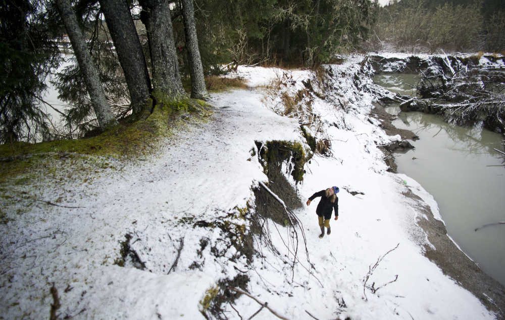
The land inside the u-shaped bend in the river that Riverbend Elementary School was named for has gone from about 500 feet at its narrowest point in 1947 to a little more than 12 feet when University of Alaska Southeast assistant professor of geology Sonia Nagorski’s students measured it this year. Soon, the river will cut through that narrowest place in the u, creating a new, more direct path for the water to follow. A while after that, the original, slower-moving curve will eventually fill up with sediment and vegetation, and the river will take the shorter course.
“They’re going to have to call (Riverbend Elementary School) Oxbow Elementary School,” Nagorski joked.
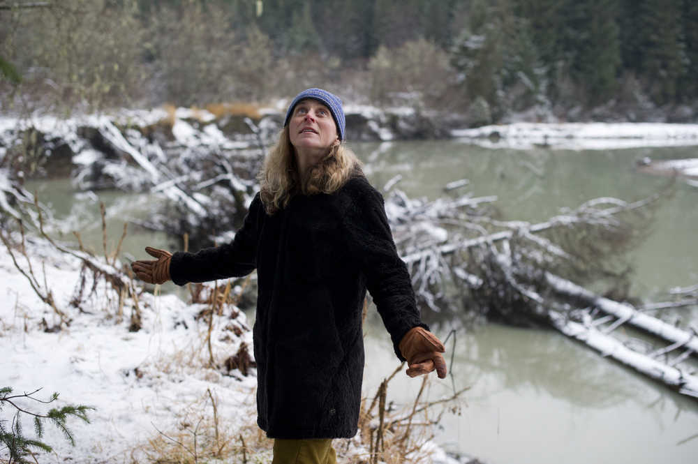
Nagorski is not doing a study on the river; her primary area of study is water quality and the accumulation of mercury and metals in hydrological systems. But she has taken her lab students out to the area to measure how it’s changing twice in recent years; UAS professor emerita Cathy Connor did the same for years before that.
“I think that meander neck is the biggest upcoming change in the river,” Nagorski said. “You need some kind of big event to blow that out.”
“Meander neck” is the term for the area of land inside the river’s u-shaped-curve. Right now, the bank around the upstream side of the meander neck is armored by an accumulation of deadfall, some of it from the eroding banks of the meander neck itself. A conjoined spruce on that narrow strip of land appears to be splitting in two as one side of it tilts to the river’s downstream side. The narrowest part of the meander neck has no large trees, something that’s likely not a coincidence. As the large root systems, and their trees, are pulled away, the process of erosion accelerates.
This process of change is natural and normal for rivers, especially, Nagorski said, for those in glacial valleys eroding through soft sediments.
“Rivers form meanders as a normal part of their floodplain development process,” she said. “Once a meander forms, the river eats away at the meander neck and increases the curvature and width of the meander bend. The Mendenhall has been working to pinch off this meander bend for about 100 years and it’s going to succeed sooner than later.”
When the meander neck breaks through, the same amount of energy will be funneled through a much faster channel, meaning less of it will be used up.
“It increases the erosive power of the river,” she said. One likely change, she wrote in an email: the river banks and beaches “downstream of the impending cutoff — the Vintage Business Park area as well as the Brotherhood Bridge trail area — will be contending with more powerful flows that could increase erosion rates.”
Just the same, things could happen to change that — an accumulation of deadfall, for example.
“What happens when it cuts through — I think that would be pretty hard to predict,” said City and Borough of Juneau Director of Engineering Rorie Watt.
Watt said he’s been looking at that meander neck for 20 years.
“It’s a natural process, and the question comes up, periodically, ‘Should the city intervene in that natural process?’ We pretty much decided over time, repeatedly, not to,” he said.
Before the city paved the Brotherhood Bridge trail, there were footpaths still visible between the paved path and the river. Some of them “shoot off over the edge of the bank,” Watt said, visible reminders of the river’s changing course. Eventually, if the river meanders into the paved path, the city would move it, he said. “From the city perspective, we’ve got a natural area park, and if the river is going to meander into it, well, so be it,” he said.
Another general change: because all of Juneau’s land is rising due to glacial uplift, the river erodes lower, downcutting, which can destabilize the banks.
“As we have glacial uplift, the river is always trying to stay right where it’s at,” said City and Borough of Juneau Emergency Programs Manager Tom Mattice. “The river over time cuts back in to go back where it was, and the sides lift up with glacial uplift… The deeper (you) take the center of the river, the wider the upper river banks have to be (to maintain an ideal angle). Basically, as the river cuts down in, it destabilizes the bank… it’s the nature of a young river in a place that has glacial uplift.”
The city, he said, did a recent flood study with the Army Corps of Engineers about big events like glacial outburst floods and how they affect the river.
“Basically, the area just downstream of the oxbow has got a lot of river corridor to hold water,” he said.
Randy Host, a hydrologist at the United States Geological Survey Alaska Science Center, wrote in an email that the center recently, at the Alaska Department of Transportation’s request, installed a camera to monitor erosion at the meander neck. The camera takes, and sends, daily photos of the area.
“An interesting note, most erosion occurs when the river is low (early spring, late fall, winter) and we have high tides. We recently saw new erosion along the right bank (looking downstream) just upstream of the new Brotherhood Bridge,” he wrote.
The now-annual glacial outburst flood, or jokulhlaup, caused by the ice dam bursting at Suicide Basin above Mendenhall lake, a high rain event, a very high tide, or any of those things combined could be the eventual cause, Nagorski said.
The river may soon be getting a half mile shorter, but then it will get longer. And shorter. Over the long term, the place the river bends will move downstream, like a waving ribbon.
• Contact Outdoors editor Mary Catharine Martin at maryc.martin@juneauempire.com.