State receives grant to assess landslide risks in Sitka

In this file photo from August 2015, In this file photo from August, a team of volunteers works to remove mud, logs and other debris from the site where Christine McGraw's house once stood. McGraw's house was destroyed by the Aug. 18, 2015 landslide that killed three people, two of whom were inside her house painting at the time.

In this file photo from August 2015, In this file photo from August, a team of volunteers works to remove mud, logs and other debris from the site where Christine McGraw's house once stood. McGraw's house was destroyed by the Aug. 18, 2015 landslide that killed three people, two of whom were inside her house painting at the time.

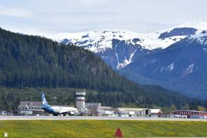
SITKA — The state has received federal funds to conduct a comprehensive landslide hazard assessment of Sitka after slides there last year left three people dead and caused $1 million in damage.

Officials announced the grant from the Federal Emergency Management Agency on Tuesday. De Anne S.P. Stevens with the Alaska Division of Geological and Geophysical Surveys said the study will include landslide mapping and hazard modeling for about 25 square miles, enough to cover the entire populated area of Sitka, The Sitka Sentinel reported.

The assessment will use data collected earlier this year through lidar technology, in which laser beams are used to measure the elevation of the ground.

“It allows us to generate a 3-D topographic land level map from which we can strip all trees and vegetation and look at what’s going on underneath,” Stevens said. “It’s incredibly useful for analyzing any sort of land surface process. Things like geomorphology … looking at unstable slopes, old drainage channels. There’s a lot we can see.”

The lidar data was gathered under a partnership between DGGS, the National Park Service and the U.S. Army Corps of Engineers.

The interest in studying Sitka came about following the deadly landslides on Aug. 18, 2015, Stevens said.

“This struck close to home – everybody’s hyper-aware we need to understand the hazard, especially in urbanized areas. … We really need to take it seriously,” she said.

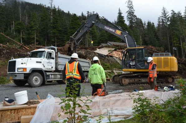
The Sitka Assembly had hired geotechnical firm Shannon & Wilson to conduct a study of the area where the three people were killed. The company presented a report to the Assembly in February detailing potential risk areas for future slides and a warning against moving forward with construction activity without further examination.

City Administrator Mark Gorman said Sitka will allow the DGGS to conduct its mapping work before more studies of other parts of the city are done.

“By doing it comprehensively it doesn’t highlight certain neighborhoods, which may disadvantage and impact land values,” Gorman said. “I think it’s more even-handed to do it all at once. … It will be easier to accept the fact that there is an inherent risk whether you’re living at sea level or living on a hill. It’s more responsible approach to do a comprehensive look at the community, rather than piecemealing it out.”

The state’s assessment should be complete within two years, Stevens said.

Read more news:

US wants to strengthen agreement to ban Arctic Ocean fishing

‘There’s no fighting back’: Hoonah hunter recalls being in the grip of a brown bear

City election turnout trends upward

More in News

(Juneau Empire file photo)
Aurora forecast through the week of Jan. 25

These forecasts are courtesy of the University of Alaska Fairbanks’ Geophysical Institute… Continue reading

A sign at Thunder Mountain Middle School was changed in January 2025 from Thunder Mountain High School to reflect the Juneau School District consolidation that officially took effect July 1, 2024. (Jasz Garrett / Juneau Empire)
Alaska House bill raising education funding more than 40% over three years gets first hearing Monday

Juneau school leaders say they’ve done their part, Legislature now needs to uphold state constitution.

Mount McKinley, officially renamed from Denali as of Friday, is seen in the distance. (National Park Service photo)
It’s official: Denali is again Mount McKinley

Interior Department says change effective as of Friday; Gulf of Mexico is also now Gulf of America.

President Donald Trump discusses Helene recovery during a visit to Western North Carolina on Jan. 24, 2025. (C-SPAN screenshot)
Trump floats ‘getting rid’ of FEMA as he visits North Carolina to survey Helene damage

Federal agency approved more than $2.6M in aid for Juneau residents affected by 2024 flood.

The Juneau Symphony rehearses for its winter mainstage concert in the Juneau-Douglas High School: Yadaa.at Kalé auditorium on Jan. 23, 2025. (Jasz Garrett / Juneau Empire)
Juneau Symphony’s winter mainstage concert features Juneau guitarist

The symphony will play a guitar concerto for the first time.

Katie Kachel (left), a federal lobbyist for the City and Borough of Juneau, talks with Juneau Assembly Member Alicia Hughes-Skandijs and Mayor Beth Weldon following a joint meeting of the Assembly and Juneau’s legislative delegation on Thursday at the Assembly Chambers. (Mark Sabbatini / Juneau Empire)
Federal flood help for Juneau not likely to be affected by Trump, but officials avoiding climate references

Local impacts may include “green” issues such as electric vehicles, Assembly members told by lobbyist.

(Michael Penn / Juneau Empire file photo)
Police calls for Wednesday, Jan. 22, 2025

This report contains public information from law enforcement and public safety agencies.

(Michael Penn / Juneau Empire file photo)
Police calls for Tuesday, Jan. 21, 2025

This report contains public information from law enforcement and public safety agencies.

Most Read