New research finds magma rising under Mount Edgecumbe
Published 10:30 pm Thursday, October 27, 2022


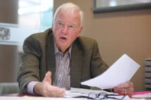
Though magma underneath Mount Edgecumbe is on the rise, University of Alaska Fairbanks associate professor of geodesy Ronni Grapenthin said concerns of an eruption are not.
“Mount Edgecumbe isn’t showing signs of an imminent eruption,” Grapenthin said in an email. “The deformation has been constant for more than 3 years now and the magma is pooling at 10 km (about 6.2 miles) depth, that’s still pretty deep. Prior to any eruptive activity we would expect to observe precursors. We now have instruments on the volcano, so we’d be able to detect small earthquakes, or changes in deformation, or we might detect volcanic gases.”
According to an article released by University of Alaska Fairbanks’ Geophysical Institute earlier this month, magma beneath the long-dormant volcano in Southeast Alaska has been steadily moving upward through the Earth’s crust, which was observed by the Alaska Volcano Observatory by using a new method that relies on computer modeling based on satellite imagery and cloud data. The observatory said this new approach could lead to earlier detection of volcanic unrest in Alaska.
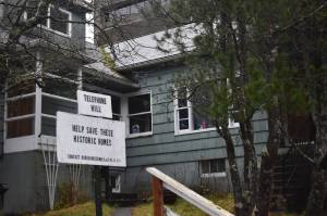
Mount Edgecumbe is 15 miles west of Sitka, which has a population of about 8,500 residents, and is located on Kruzof Island on the west side of Sitka Sound. According to the article, it is part of the Mount Edgecumbe Volcanic Field that inhabits the domes and crater of adjacent Crater Ridge.
Grapenthin, who served as the research paper’s lead author, said that while it is not uncommon for volcanoes to deform, the activity at Mount Edgecumbe is unusual because reactivation of dormant volcanic systems is rarely observed.
Most active volcanoes have cycles of activity that are years to decades long,” Grapenthin said. “That doesn’t mean they erupt that often, but they generate earthquakes, deform, emit gases, or have geothermal systems. For Edgecumbe, we know thanks to Tlingit history handed down by Herman Kitka that the last activity was about 800-900 years ago. This was low level eruptive activity rather than a big 1980 Mount St Helens-like explosions if we compare the descriptions to volcanic activity we observe — perhaps something like fire fountaining. While we know a lot about Edgecumbe from past eruptions, we ‘re now learning more about the active volcanic system now.”
[Alaska Science Forum: A porcupine’s winter in slow motion]
In collaboration with the Alaska Volcano Observatory, the Alaska Satellite Facility helped to process data in the cloud, which was said to be a first for the volcano team. Grapenthin said that cloud computing uses remote servers to store data and provide computing services so a researcher can avoid having to download and process data, which typically can take weeks or months.
“We’re using workflows that the Alaska Satellite Facility has developed that allow us to analyze and model the satellite radar data in the cloud — cloud computing,” Grapenthin said. “This means that we don’t have to download 7 years of satellite data and set up workflows on a local server. Instead of taking weeks to months to achieve high quality results, it now takes just a few days. That’s important in hazard settings like volcano monitoring. We need to be able to understand what is going on and be able to make informed decisions and communicate them to the public as soon as possible. Edgecumbe was an excellent example — there were earthquakes, but no instruments on the ground because the volcano was considered inactive. The nearest seismometer was 25 kilometers (about 15.5 miles) away, part of the network to monitor tectonic earthquakes, which are bigger than those at volcanoes. So remote sensing data was the best tool, and within days we were able to make a statement that the observed earthquake activity is part of continuous magma movement that has happened over the last three years. We learned a lot about the current activity of that volcano very quickly.”
Alaska Volcano Observatory’s coordinating scientist at the Geophysical Institute David Fee said they’re applying the new approach to other volcanoes across Alaska, including Trident Volcano, about 30 miles north of Katmai Bay, which according to the article is showing signs of elevated unrest.
“We are now applying these techniques to help monitor other volcanoes across Alaska. This is particularly useful for volcanoes where we have limited ground-based instrumentation, “ Fee said in an email. “I can say that we have sufficient ground-based seismic monitoring at 33 volcanoes in Alaska to consider them ‘monitored.’ This is out of a total of 53 historically active volcanoes in the state. Therefore a little over half of our historically active volcanoes have ground-based monitoring.”
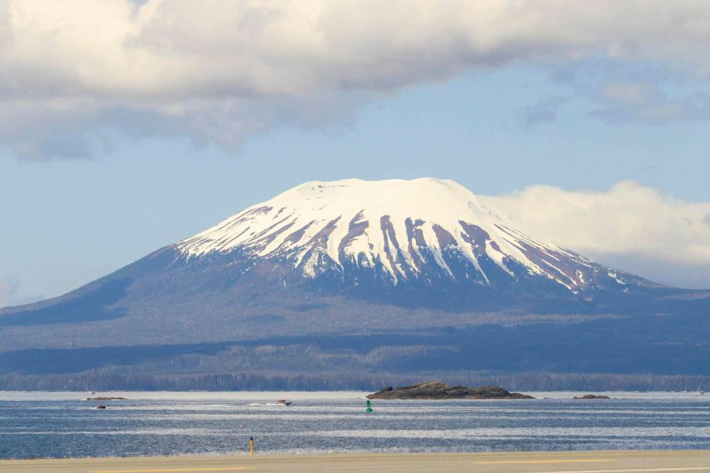
At Mount Edgecumbe, the observatory’s research indicated that magma is rising to about 6 miles from a depth of about 12 miles and has caused earthquakes and significant surface deformation.
The research team began surveying the area after several earthquakes were observed at Mount Edgecumbe on April 11, according to the article. Using satellite radar data, researchers were able to analyze the previous 7 and a half years of ground deformation. Four days after beginning their research, the observatory team determined that an intrusion of new magma in the area was the cause for the sudden cluster of earthquakes. Grapenthin said the earthquakes have since subsided.
“There was a swarm of activity for a few days, releasing stresses in the crust that had built up as the magma below lifts up the ground,” Grapenthin said. “This was the second such swarm. In early 2020 there was a similar one that started with a larger earthquake and then subsided over a few weeks. Before that, we couldn’t find any larger earthquakes going back to 1990.”
Grapenthin said that while an eruption is not imminent, currently there is no evidence of the magma rise slowing down.
“It’s difficult to project into the future, because we’d need to know better what the ground surrounding the magma is made of: is the magma any lighter than the surrounding material, then it might want to rise further — similar to how lava lamps work, if not, it may just stay where it is,” Grapenthin said. “If it would rise further, it’s pooling beneath some stronger rocks — is it strong or weak, that means what stresses can it withstand before the magma would break through – and how far would it rise then? Any further rise would create seismicity and a change in surface uplift, which we can now track. We would expect to see clear signs of change in activity.”
• Contact reporter Jonson Kuhn at jonson.kuhn@juneauempire.com.