More heavy, wet snow forecast for the Juneau area this week
Published 9:00 am Monday, December 29, 2025


Precipitation is outpacing snow plows, as heavy snow and rain persists in the forecast for the rest of the week.
Capital City Fire and Rescue released a statement Monday morning advising residents without four-wheel drive against taking on the roads.
“Cars are stuck in side roads and parking lots all across town,” the CCFR statement read. “Give the snow plows a little time to catch up, and not have to plow around you.”
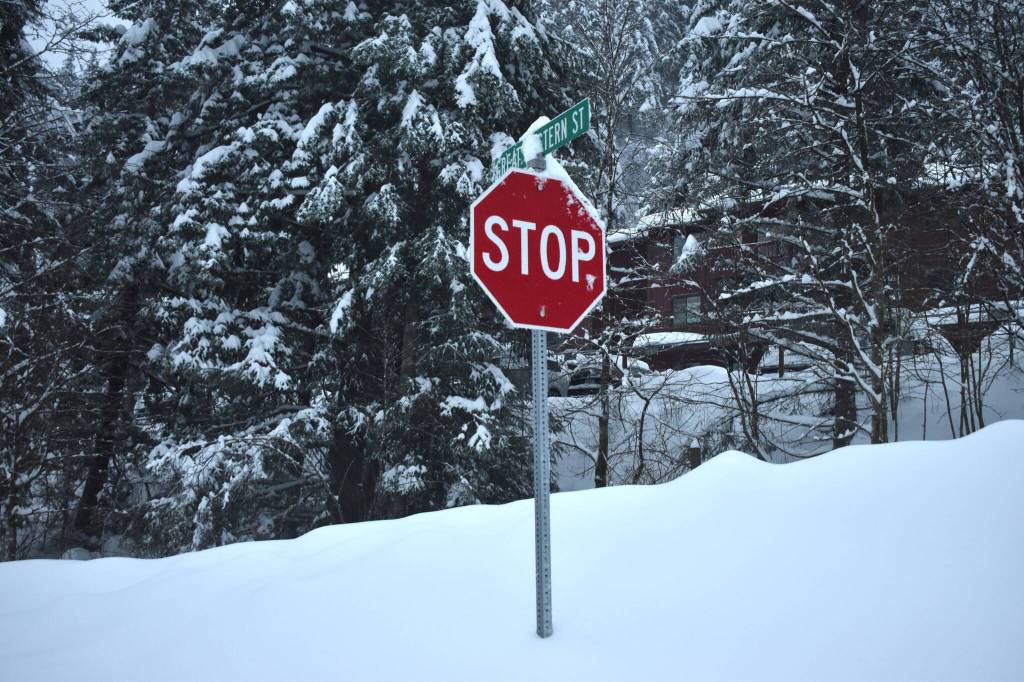
Upwards of one to three feet of new snow fell over the weekend, since the storm system arrived Friday night, according to the National Weather Service Juneau. A wintry mix is set to continue into late-week.
Alaska Department of Transportation stated in the Monday morning Facebook post that road crews “have been working around the clock,” but freezing rain and dense snow has made clearing difficult. These conditions are particularly hard to manage, NWS caution last week ahead of the storm.
The precipitation has led to road hazards along with potential damage to roofing due to the heavy snow pack.
As of Monday morning, the snowpack at the Juneau NWS office in the valley was over 30 inches. That correlates to over 30 pounds per square foot of pressure on a flat roof, NWS said.
Blowing snow downtown and a mix of freezing rain in different areas means different levels of snowpack throughout the borough.
The City and Borough of Juneau cited the engineering firm RESPEC, which recommends clearing roofs when they accumulate between two and three feet of snow, depending on the age of the house.
CBJ facilities were closed or limited on Sunday, carrying into Monday due to continued hazardous road conditions.
Eaglecrest Ski Area opened the hill Monday morning, but prohibited uphill travel beyond Hooter Terrain Boundary due to high avalanche warning. Wet, heavy snow on top of light snow can be volatile, the Coastal Alaska Avalanche Center warned.
“Travel in avalanche terrain is not recommended as human triggered avalanches are very likely and natural avalanches are likely,” the CAVC wrote in a Facebook post Monday morning.
Similar weather patterns are expected later into the week, with snow likely through Sunday, and high temperatures hovering at or above 32 degrees fahrenheit.