Precipitation is forecast later this week. Will it be rain or snow?
Published 2:30 am Wednesday, December 24, 2025
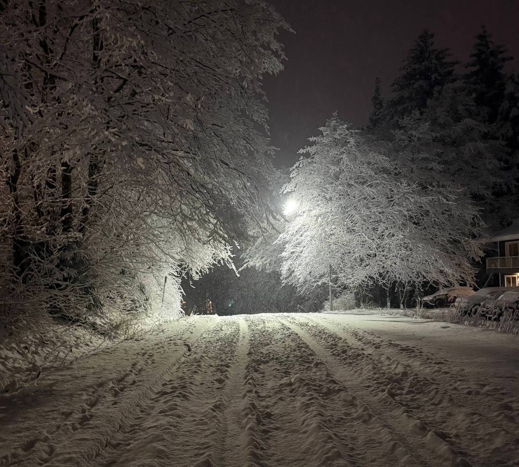
Two storm systems are expected to move through Juneau toward the end of the week, bringing the potential for snow, and possibly rain.
The first system, starting Christmas Day, could deliver light snow, while the second carries a chance of heavier precipitation. The National Weather Service is forecasting warning-level precipitation beginning Friday afternoon, said Grant Smith, a meteorologist with NWS Juneau. That could mean at least six inches of snow within a 12-hour period.
There is also potential for warming on Sunday, which could shift precipitation from snow to rain before temperatures drop again heading into next week, Smith said. Either scenario could create difficult travel conditions.
“If we see the warming on Sunday, that’s the potential for either a very heavy wet snow, which is a lot harder to deal with,” Smith said. Or if we switch over to rain, rain on top of lots of snow is also not good.”
The storms are set to follow several weeks of colder-than-average temperatures and strong winds across the region. Over the past two weeks, Juneau has seen a series of winter weather warnings.
High wind warnings were in effect for Downtown Juneau, South Douglas and Thane beginning Thursday afternoon and lasting through the weekend.
Taku winds blew through town, fueled by strong pressure gradients across the Yukon and British Columbia, according to Dan Slagle, lead forecaster at NWS Juneau. As winds blow perpendicular to the Coast Mountain Range, they are funneled through the Taku Inlet, then pushed over and down Mount Roberts.
Juneau broke two low-temperature records on back-to-back days last week. On Dec. 19, temperatures dropped to negative six degrees Fahrenheit, followed by negative seven degrees on Dec. 20, both measured at Juneau International Airport.
Juneau has also seen record snowfall this month. On Dec. 15, the NWS measured 9.2 inches of snow at the airport, setting a new record for Dec. 15 and surpassing the previous mark of 8.7 inches set in 1971. Earlier this month, 9.6 inches fell on Dec. 6, breaking the previous record by over two inches.
Forecasts for the season suggest the cold may stick around in the long term. The one- to three-month outlooks favor below-normal temperatures across the panhandle, Slagle said.
Smith encouraged residents to check the forecast at least once a day as this weekend’s storm approaches.
He also reminded boat owners to regularly clear snow and ice from their vessels. Boats sinking under the weight of heavy precipitation, he said, is not uncommon.