Thousands of Juneau residents urged to evacuate before glacial outburst flood
Published 1:30 pm Wednesday, August 12, 2026



Alaska’s capital city has issued an evacuation advisory for the densely populated Mendenhall Valley area on Wednesday as glacial outburst flooding begins.
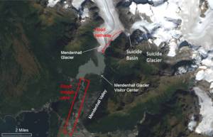
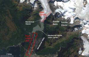
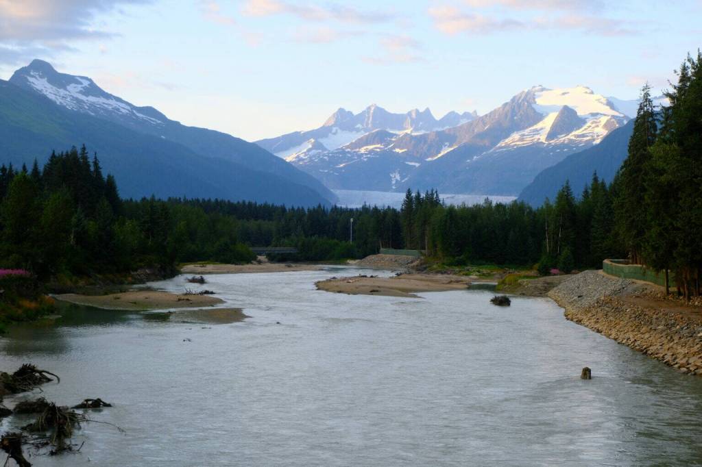
Officials and the public are closely watching the Mendenhall Glacier, where climate-change driven melting results in water filling an ice-dammed lake called Suicide Basin each year. That lake eventually bursts and billions of gallons of water are released down the Mendenhall River, threatening suburban neighborhoods nearby.
The National Weather Service forecasts the flooding in the Mendenhall River will peak on Thursday morning between 8 a.m. and 12 p.m.
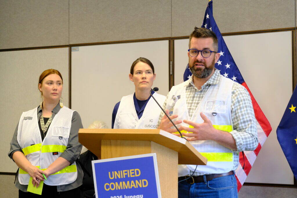
“Evacuating is absolutely the best way to keep yourselves, your neighbors, and first responders safe as we respond to this flood,” said Ryan O’Shaughnessy, emergency manager for the City and Borough of Juneau at a news conference on Wednesday.
Scientists with the National Weather Service estimate the flooding to peak between 16.1 to 16.6 feet. That’s similar to last year’s flood where the river peaked at a record-breaking 16.65 feet.
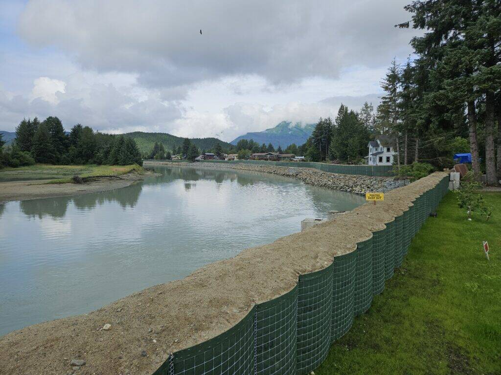
The scale of flooding is uncertain, and depends largely on whether sandbag barriers erected along the Mendenhall River hold.
In the event that water bursts through the barriers, CBJ will issue an emergency flash-flood alert to all local cell phones, similar to an Amber alert.
Last year, local, state and federal agencies erected the new barriers along the river, where they largely prevented major flood damage. Thirty-five homes were affected by the flood, with six sustaining major flood damage. Some homes had up to five feet of flooding water in living spaces, according to city reports. In 2024, there were no barriers and flooding damaged nearly 300 homes.
This year, the U.S. Army Corps of Engineers and local partners worked to fortify those sandbag barriers along the Mendenhall River. In some areas, the barriers were constructed higher, up to 16 feet. They were extended in other areas across 1.8 miles of additional riverbank, said U.S. Army Corps Brigadier General Joseph Goetz at a news conference on Tuesday. The Army Corps has also installed roughly 40 industrial pumps to control seepage, and distributed an estimated 225,000 sandbags.
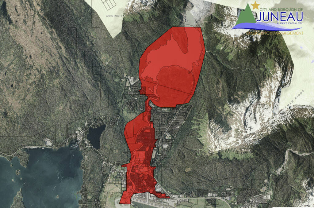
But this year officials issued an evacuation advisory for an area nearly double the size of last year’s — including roughly 1,900 homes — in case the barriers fail. Officials are calling that a worst-case scenario.
Ryan O’Shaughnessy said census data shows the evacuation area includes an estimated 5,000 residents.
“I know this community has experienced this flood before, but we can’t be complacent,” said Ken Murphy, a safety officer with the Alaska Department of Transportation and Public Facilities, on Tuesday. “What happened last year may or may not happen this year.”
Residents are asked to evacuate the area by 3 p.m. on Wednesday.
Officials said there is a risk of tree-strikes damaging the barriers and causing major flooding, and urged the public to take extra precautions, evacuate and avoid the river area entirely.
“The risk is real,” Murphy said. “Debris, erosion, unstable banks, changing water levels, and hidden hazards make the river dangerous. If you’re near the river or within the flood zone, you’re in danger. There is no safe reason to approach the water during this event. This is not a normal event, even though it reoccurs.”
Officials said they will be monitoring the river and barriers by livestream cameras and by drone throughout the flood, with emergency crews staged nearby ready to respond.
Residents can monitor Suicide Basin through a National Weather Service monitoring page. Officials recommend signing up for emergency alerts and reviewing Mendenhall River inundation maps. KTOO Public Media has set up several livestreams to monitor the flooding event. There is an emergency shelter at the former Floyd Dryden Middle School staffed by the American Red Cross.
The Mendenhall Glacier Recreation Area, Alaska’s most-visited tourist destination, surrounding the Mendenhall Glacier and Mendenhall Lake below is closing on Wednesday afternoon.
A joint emergency incident command has been established to monitor and respond to the flood. That includes the National Weather Service, City and Borough of Juneau, Central Council of Tlingit and Haida Indian Tribes of Alaska, the Alaska Department of Transportation and Public Facilities, the U.S. Coast Guard, the U.S. Army Corps of Engineers and the Alaska Division of Homeland Security and Emergency Management.
This article originally appeared online at alaskabeacon.com. Alaska Beacon, an affiliate of States Newsroom, is an independent, nonpartisan news organization focused on connecting Alaskans to their state government.
Corinne Smith started reporting in Alaska in 2020, serving as a radio reporter for several local stations across the state including in Petersburg, Haines, Homer and Dillingham. She spent two summers covering the Bristol Bay fishing season. Originally from Oakland, California, she got her start as a reporter, then morning show producer, at KPFA Radio in Berkeley. She completed a master’s degree focused on investigative journalism in 2024 at USC Annenberg School for Communication and Journalism in Los Angeles. She is thrilled to be back in Alaska and based in Juneau, covering education and social and criminal justice.