CBJ, CCFR and others share flood preparedness updates ahead of expected annual flood event
Published 10:30 pm Sunday, August 10, 2025


The Juneau Glacial Lake Outburst Flood (GLOF) Joint Information Center (JIC) gathered Monday morning to provide critical updates and information on the imminent glacial lake dam release of Suicide Basin, which reached capacity Sunday evening.
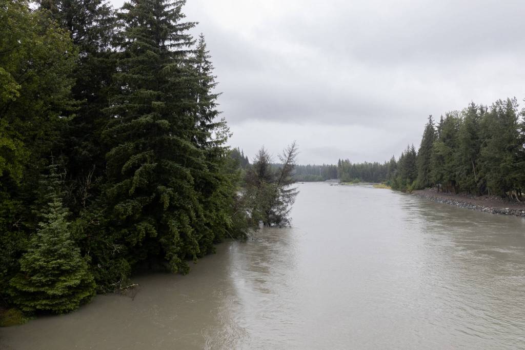
Aaron Jacobs, the senior service hydrologist at the National Weather Service in Juneau, said that due to an atmospheric river the Juneau area experienced this weekend, both lake and river levels have risen, causing the ice dam to slowly erode and creating small drops in water levels as the dam begins to overflow.
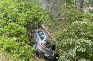
He reiterated several times that there is no indication of a flood happening at this time, although the Mendenhall River is currently elevated just below the bankable stage of 8 feet. Jacobs said they’re hoping the precipitation will drop off overnight and Tuesday, continuing to lower out throughout the week. Variables like the level of the river at the time of release will influence how severe impacts within the inundation zone may be.
Jacobs said that reports within the community of a waterfall appearing at the base of the glacier are just regular melt and overflow, and there are still no signs of a release happening at this time. He said monitoring of the basin will continue, with another meeting to be held Monday afternoon, with updates to come.
“There is a concern right now that with the higher flows and water levels coming down and up from the basin, it might make it a little bit more difficult for us to identify when the actual start of the event is,” said Jacobs on Monday. “But we will continue to look at the information to try to identify when that start event is and start that clock at that 48 hours to peak.”
CBJ Emergency Programs Manager Ryan O’Shaughnessy said the city is “extremely confident” in the HESCO barrier’s capability, but that evacuation is still advised, despite this confidence in mitigation measures.
The JIC is partnering with the Red Cross to create an emergency evacuation shelter at Floyd Dryden Gymnasium at 3800 Mendenhall Loop Road. While they are not able to accommodate pets at the Floyd Dryden Shelter, Juneau Animal Rescue offers emergency sheltering for pets through their Safe-Keeping Program.
Residents in the flood inundation area who are not sheltering at Floyd Dryden are invited to move vehicles to St. Brendan’s Episcopal Church (4207 Mendenhall Loop Road), Shepherd of the Valley Lutheran Church (8198 Keegan Street), Christ Lutheran Church (10300 Glacier Highway), and the Juneau Christian Center (8001 Glacier Highway) once the basin is full and the evacuation alert is sent out.
Capital Transit will assist with the transportation of evacuees from Riverview Senior Living and Trillium Landing to Red Cross Shelters as well as overflow shuttling from Floyd Dryden to contingency shelter locations if the primary shelter capacity is exceeded, according to CBJ’s online guide to flood preparedness.
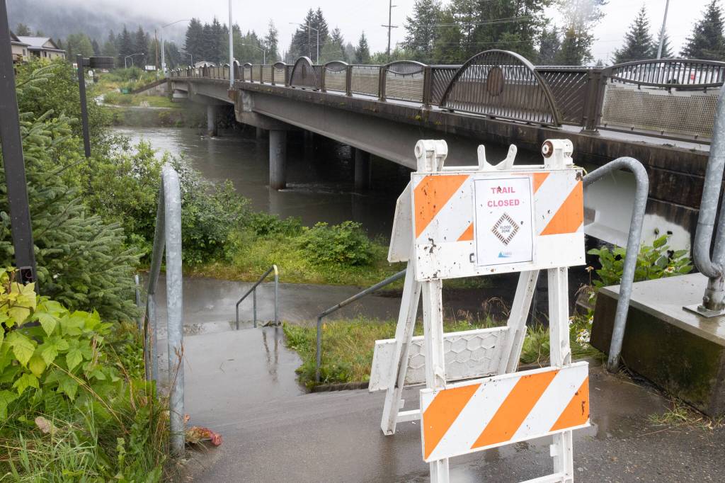
Currently, the Montana Creek Trail System and Brotherhood Bridge Trail are advised to be avoided. DOT said they’re monitoring water levels and will issue closures when and if pedestrian danger increases. The pedestrian bridge at Diamond Creek will be closed today, as well as the Nugget Falls Trail. A representative for Alaska DOT in Juneau said Monday that no disruptions are expected for ferry service in and out of Juneau, and they don’t anticipate closure of the Brotherhood Bridge, as water must reach 18 feet in order to surpass the bridge.
Volunteers in Juneau will work this afternoon to distribute door hangers and informational materials to homes within the inundation zone and surrounding areas to spread information from the Unified Command task force. Legitimate information from JIC can be identified by its logo on the materials.
The school district is coordinating with the City to determine any changes to student attendance if the release happens after school begins on Thursday, with schools across Juneau to be temporarily closed in the case of flooding while in session.
Capital City Fire and Rescue Assistant Chief of Administration Sam Russell said on Monday that the first responder pool is “limited” and that evacuation compliance is necessary for ensuring community-wide safety.
Russell said CCFR has received reports of people climbing on the HESCO barriers for various reasons, but that the preventative barriers were not created to be stood or walked on.
“Our ability to rescue you from the water is limited,” he said. “And it becomes more limited as the debris and flooding increase.”
CBJ, Tlingit & Haida, and the NWS are monitoring the basin closely and will issue an alert as soon as it begins to release. Official updates and resources are available at www.juneaufloodhelp.org. Emergency preparedness information can be found at www.ready.alaska.gov.
You can sign up to receive emergency alerts on the release by texting “CBJ” to 38276.