As sea levels rise, more data needed, experts say
Published 2:37 pm Tuesday, August 28, 2018


Alaska’s ability to measure coastal sea levels suffers from a lack of resources, experts say, at a time when many coastal communities face imminent threats from erosion and flooding.
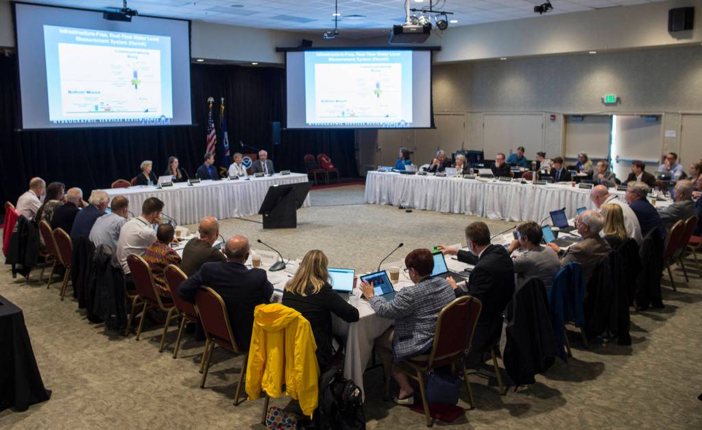
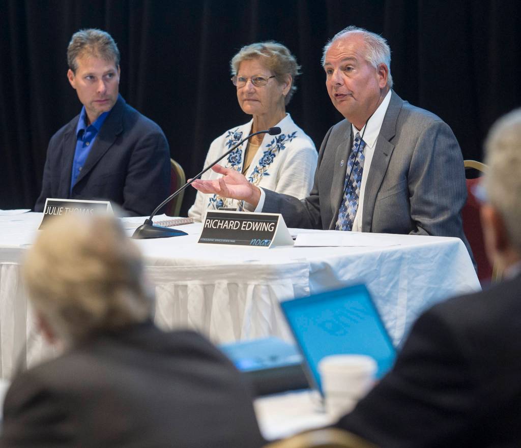
The National Oceanic and Atmospheric Administration’s Hyrdrographic Services Review Panel is meeting in Juneau this week for three days of discussion and debate. The NOAA-sanctioned panel drafts issue papers and letters in hopes of guiding the federal government’s priorities for charting coasts and waterways.
On Tuesday, experts from the National Weather Service, NOAA and the Alaska Department of Natural Resources said they’re working hard to map and monitor sea level rise.
Northern and western Alaska are two of the epicenters of coastal erosion, experts said Tuesday. Those areas are sparsely sampled, said Molly McCammon, executive director of the Alaska Ocean Observing Network.
“Our models and forecasting are always wrong — it’s just how wrong are they,” McCammon said.
The gold standard of monitoring comes from NOAA. It’s able to produce real-time sea level data at monitoring stations operated by the Center for Operational Oceanographic Products and Services (CO-OPS).
Those are the “backbone” of water level observations in the state. Other, lower-tech stations are able to provide shorter-term monitoring. Those stations — run by DNR and other agencies — can sharpen their data by bouncing it off data CO-OPS produces.
It takes about 30 years to gather enough data to establish a rising trend, McLaughlin said. So far, CO-OPS has been able to establish that trend at two stations in Alaska. The others don’t yet have long enough data sets.
But CO-OPS’ best stations don’t cover much of the state. A patchwork of state and federal agencies are attempting to fill in the gaps in geographic coverage.
Jacqueline Overbeck is the manager of the Coastal Hazards Program at the Department of Natural Resources. She works with about 60 coastal communities in Alaska, helping to install instruments needed to track sea level rise and mitigate coastal hazards. Thirty-one coastal Alaska communities face flooding and erosion threats, according to a National Weather Service official who spoke to the panel.
DNR is working to get low-cost sensors out to rural Alaska. Next week, Overbeck travels to the Seward Peninsula town of Deering, population 200, to install one of these sensors.
There, a few power poles connect the western part of its community to the rest of the power grid. The poles stand on a beach threatened by coastal erosion and storms, Overbeck told the Empire.
“They have had coastal storms impact their community in such a way that there’s erosion on the main sand spit,” Overbeck said. “It’s a pretty serious issue.”
DNR needs more resources, Overbeck said. Staffing has been reduced in her office in recent years. Soon, she’ll be the only one in her office, she said.
Another problem with predicting coastal erosion? Experts don’t know how fast coastal erosion has eaten away at shorelines historically, Overbeck said. Many of the small communities she works with have never had water level monitors installed. This year, DNR measured the historical erosion for about 32 communities, Overbeck said. That data isn’t available yet but will be released soon as part of an update to a statewide hazard mitigation plan.
The department is getting creative to gather more data. This year, Overbeck said she hopes to establish a new method to extract water level data from plate boundary observation sites. Those stations are used to monitor the earth’s vertical movement. When they’re close to the water, the data they produce can be used to measure water levels.
Sensing could be increased at ports and harbors as well. Nearly 40 percent of the state’s ports and harbors don’t have water level sensing abilities, Overbeck said. That became a problem when a magnitude 7.9 quake hit the Gulf of Alaska in January, said the National Weather Service’s Don Moore, who presented to the panel.
“What’s lacking is just the resources to get it all done,” Moore said, “I think the state and federal agencies do a reasonably good job of trying to work together in what they’re trying to do.”
While increasing the amount of data coming in is important, it’s also imperative to centralize those efforts, McCammon said.
AOOS, as it’s known, is attempting to integrate data coming in from DNR, CO-OPS and the NWS, as well as other agencies. Even if those groups are able to produce dependable and timely data, getting it out to the rural communities that need it poses a challenge. Much of rural Alaska doesn’t have reliable internet connections.
“Communication is one of those overarching needs and assets that really ties in a lot of the pieces we’re all working towards,” McCammon said.
Monitoring sea levels is also important to charting Alaska’s coasts, McCammon added.
“We’re not just talking about water levels. It’s all part of a package. … In most places in Alaska, Google Maps does a better job of showing where the coastline of Alaska is than our current NOAA charts,” McCammon said.
Panel meetings run today and tomorrow, with public comment periods slated for noon today and 11:15 a.m. Thursday.
• Contact reporter Kevin Gullufsen at kgullufsen@juneauempire.com. Follow him on Twitter at @KevinGullufsen.