DOT&PF reduces avalanche hazard over Thane, Mount Juneau remains a risk
Published 2:30 am Saturday, January 3, 2026
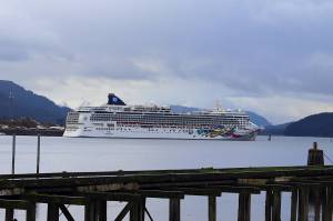
The Alaska Department of Transportation and Public Facilities triggered controlled avalanches over Thane Road around noon Jan. 1, in an effort to reduce avalanche hazard above the roadway. Avalanche risk remains in place for the neighborhoods below Mount Juneau.
The avalanche slide paths over the White Subdivision and Behrends Ave., and all neighborhoods below Mount Juneau, remain under elevated avalanche risk, according to a Thursday afternoon City and Borough of Juneau avalanche advisory update.
The warning follows a massive storm. The storm broke a four-day snowfall record, amassing 46.8 inches of snow recorded at Juneau International Airport.
“This week’s historic storm has created conditions that may persist over an extended period, requiring continued awareness even without daily changes,” the advisory said. “Conditions can change quickly with little warning. CBJ will send alerts if conditions worsen.”
CBJ first issued an avalanche warning Tuesday afternoon for areas above Behrends Avenue and Thane Road. DOT&PF reopened Thane Road Thursday after the avalanche mitigation efforts were completed.
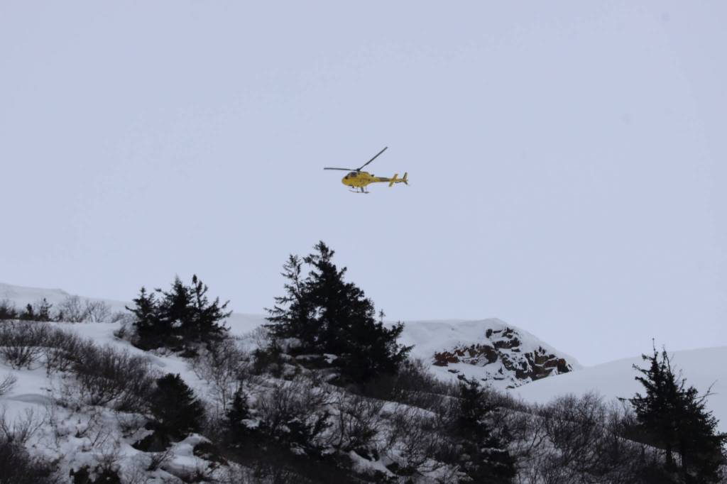
DOT&PF announced on Wednesday its plans to fly over the snowpack above Thane in a helicopter to test whether an avalanche could be triggered. On Thursday, they detonated multiple explosives, triggering several controlled avalanches, according to Pat Dryer, avalanche specialist for DOT&PF.
“By releasing numerous small avalanches, we reduce the likelihood of large destructive avalanches,” Dryer said.
It’s extremely unlikely that safety officials will follow the same strategy to trigger an avalanche on Mount Juneau, said Ryan O’Shaughnessy, CBJ’s emergency programs manager. In 2011, CBJ contracted a study of Mount Juneau’s avalanche paths and developed recommendations for how to safely manage risk.
“It was determined that, essentially, we can’t mitigate hazards through intentionally triggering them without putting life safety and property at risk,” O’Shaughnessy said.
He said preparedness means having a go-bag ready, knowing evacuation routes, and understanding risk by location. Residents can use CBJ’s “Know Your Risk” map by entering their address to see where their property falls within the avalanche study area.
O’Shaughnessy said that signing up for CBJ emergency alerts is the most reliable way to stay informed about hazards.
This story has been updated.